|
|
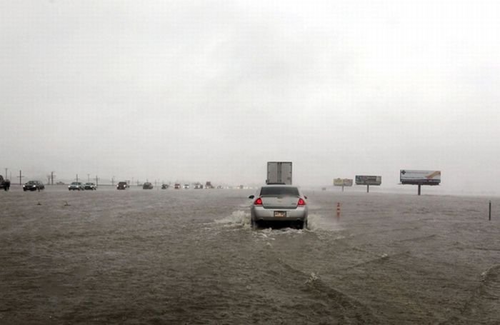
2011 Red River Flood, North Dakota, Minnesota, United States
|
Elsewhere along the river, early predictions for the Wahpeton-Breckenridge area saw a predicted level of at least 16 feet (4.9 m). By March 24, the National Weather Service predicted the crest in Wahpeton and Breckenridge not to top 18 feet (5.5 m), below the cities' levees.
• Grand Forks
In the Grand Forks, North Dakota area, flood predictions released February 27 predicted a possibility of a flood crest between 44 feet (13 m) and 46 feet (14 m). The snowstorm that struck March 9–10 raised the predicted levels between 47 feet (14 m) and 50 feet (15 m) prompting the city to declare a state of emergency. On March 22 the predicted crest level was changed to 52 feet (16 m).
|
|