|
|
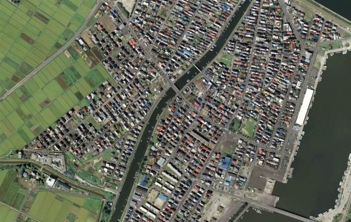
Aerial Photos Before And After 2011 Earthquake And Tsunami, Japan
|
A report by the U.S. Geological Survey said that Honshu, the main island of Japan, was shifted 5 m (16 ft) toward the east. Researcher Lucy Jones said of the precise data, "The Japanese have the best seismic information in the world... This is overwhelmingly the best-recorded great earthquake ever."
Shinmoedake, a volcano in Kyushu, erupted two days after the earthquake. Although previous eruptions of the volcano occurred in January 2011, it is not known if the earthquake had triggered a renewed eruption.
|
|