|
|
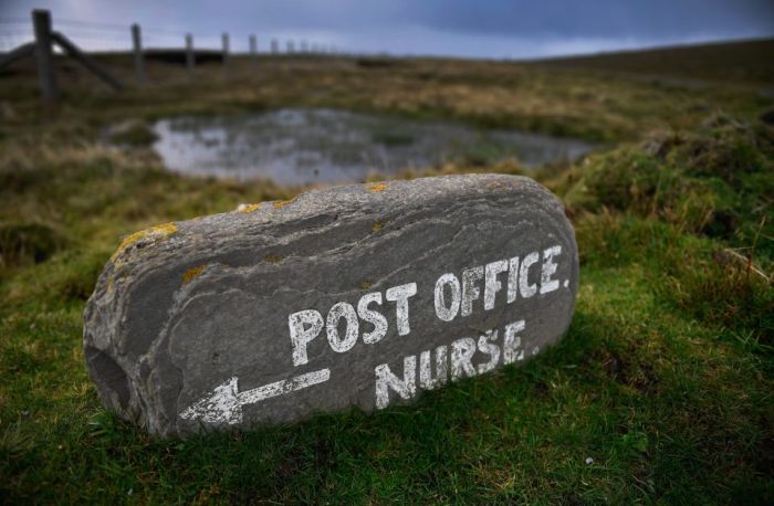
Foula, Shetland Islands, Scotland
|
Geography
Foula is a bleak yet spectacular island in the Atlantic Ocean, 20 miles west of Walls in Shetland. The island is about 2.5 miles (4.0 km) by 3.5 miles (5.6 km), with a low-lying coastal strip along the east side. With an area of 4.9 square miles (12.7 km2), it is the seventh largest and most westerly of the Shetland Islands. It rises from low broken cliffs in the east to precipitous 150 to 365m cliffs on the west. The island has five peaks, rising to 418m (1371 feet) at the Sneug and 376m (1220 feet) at the Kame. At the north end is Gaada Stack, a natural arch. Foula lies on the same latitude as Saint Petersburg.
Foula has a population of 38 people, living in Hametown and Ham. Islanders previously made a living from fishing – first for whitefish, then lobster. Today, most islanders are crofters with income from sheep farming and ornithological tourism.
|
|