|
|
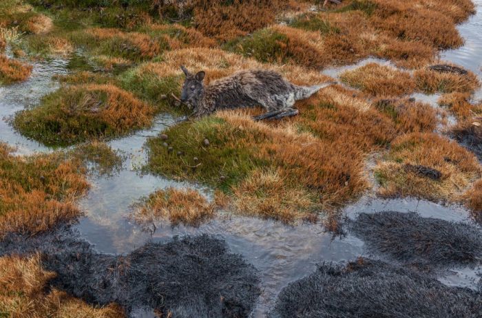
Tasmania Island Fire, Commonwealth Of Australia, South Pacific Ocean
|
Several sections of inland Tasmania, together with Flinders Island, were declared drought-affected areas by the state government in 2007.
The highest recorded maximum temperature in Tasmania was 42.2 °C (108.0 °F) at Scamander on 30 January 2009, during the 2009 southeastern Australia heat wave. Tasmania's lowest recorded minimum temperature was −13.0 °C (8.6 °F) on 30 June 1983, at Butlers Gorge, Shannon, and Tarraleah.
Despite the presence of some Quaternary glaciation, Tasmania's soils are not more fertile than those of mainland Australia, largely because most are severely leached and the areas with driest climates (least leaching) were unaffected by glaciation or alluvia derived therefrom. Most soils on the Bass Strait Islands, the east coast and western Tasmania are very infertile spodosols or psamments, with some even less fertile "lateritic podzolic soils" in the latter region. Most of these lands are thus not used for agriculture, but there is much productive forestry—which remains one of the state's major industries.
On the north coast, apart from some relatively fertile alluvial soils used for fruit-growing, there are also deep red, easily workable soils known as "krasnozems" ("red land"). These soils are highly acidic and fix phosphate very effectively, but their extremely favourable physical properties make them extensively used for dairying, beef cattle and fodder crops.
|
|


