|
|
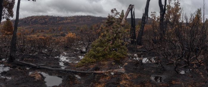
Tasmania Island Fire, Commonwealth Of Australia, South Pacific Ocean
|
The more densely populated northern coast is much drier than the western side, with annual rainfall ranging from 666 millimetres (26.2 in) in Launceston to 955 millimetres (37.6 in) in Burnie in the north west and 993 millimetres (39.1 in) in Scottsdale located further to the east. Most rain falls in winter, and in summer the average can be as low as 31 millimetres (1.2 in) per month in Launceston.
The east coast is wetter than the Midlands, with an average annual rainfall ranging from 775 millimetres (30.5 in) in St. Helens to around 640 millimetres (25 in) in Swansea. Here the rainfall is evenly distributed over the year, but can be very erratic as heavy rainfalls from the warm Tasman Sea are quite frequent. Whereas a three-day fall of 125 millimetres (4.9 in) occurs only once every 50 years on the north coast, it occurs on average once every four or five years around Swansea and Bicheno, and on 7–8 June 1954, there were many falls as large as 230 millimetres (9.1 in) in two days in that area. The east coast is sometimes called the "sun coast" because of its sunny climate.
Several sections of inland Tasmania, together with Flinders Island, were declared drought-affected areas by the state government in 2007.
The highest recorded maximum temperature in Tasmania was 42.2 °C (108.0 °F) at Scamander on 30 January 2009, during the 2009 southeastern Australia heat wave. Tasmania's lowest recorded minimum temperature was −13.0 °C (8.6 °F) on 30 June 1983, at Butlers Gorge, Shannon, and Tarraleah.
|
|