|
|
Iceland
|
Geography
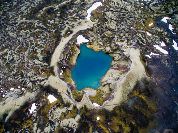
Iceland is located at the juncture of the North Atlantic and Arctic oceans. The main island is entirely south of the Arctic Circle, which passes through the small Icelandic island of Grímsey off the main island's northern coast. The country lies between latitudes 63° and 68° N, and longitudes 25° and 13° W.
Iceland is closer to continental Europe than to mainland North America; thus, the island is generally included in Europe for historical, political, cultural, and practical reasons. Geologically the island includes parts of both continental plates. The closest body of land is Greenland (290 km, 180 mi). The closest bodies of land in Europe are the Faroe Islands (420 km, 260 mi); Jan Mayen Island (570 km, 350 mi); Shetland and the Outer Hebrides, both about 740 km (460 mi); and the Scottish mainland and Orkney, both about 750 km (470 mi). The mainland of Norway is about 970 km (600 mi) away.
|
|