|
|
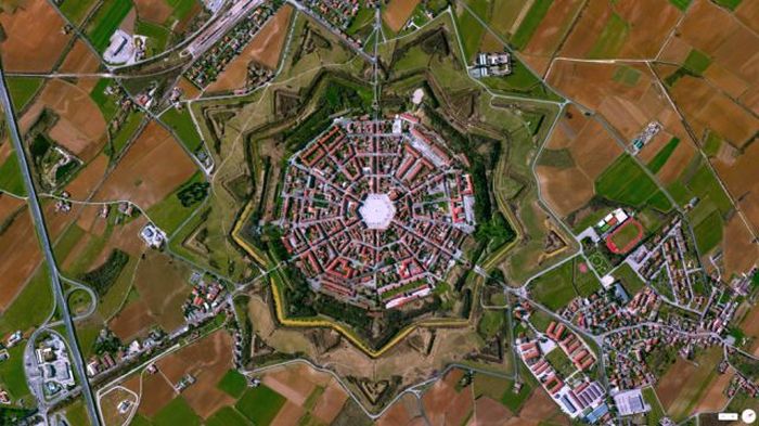
Interesting Places On Google Earth
|
Overview
Google Earth displays satellite images of varying resolution of the Earth's surface, allowing users to see things like cities and houses looking perpendicularly down or at an oblique angle. The degree of resolution available is based somewhat on the points of interest and popularity, but most land (except for some islands) is covered in at least 15 meters of resolution. Melbourne, Victoria, Australia; Las Vegas, Nevada; and Cambridge, Cambridgeshire include examples of the highest resolution, at 15 cm (6 inches). Google Earth allows users to search for addresses for some countries, enter coordinates, or simply use the mouse to browse to a location. For large parts of the surface of the Earth only 2D images are available, from almost vertical photography. Viewing this from an oblique angle, there is perspective in the sense that objects which are horizontally far away are seen smaller, like viewing a large photograph, not quite like a 3D view.
For other parts of the surface of the Earth 3D images of terrain and buildings are available. Google Earth uses digital elevation model (DEM) data collected by NASA's Shuttle Radar Topography Mission (SRTM). This means one can view the whole earth in three dimensions. Since November 2006, the 3D views of many mountains, including Mount Everest, have been improved by the use of supplementary DEM data to fill the gaps in SRTM coverage.
|
|