|
|
Life In Philippines
|
Geography
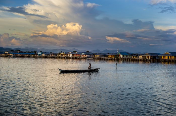
The Philippines is an archipelago of 7,107 islands with a total land area, including inland bodies of water, of approximately 300,000 square kilometers (116,000 square miles). Its 36,289 kilometers (22,549 miles) of coastline makes it the country with the 5th longest coastline in the world. It is located between 116° 40', and 126° 34' E. longitude and 4° 40' and 21° 10' N. latitude and borders the Philippine Sea on the east, the South China Sea on the west, and the Celebes Sea on the south. The island of Borneo is located a few hundred kilometers southwest and Taiwan is located directly to the north. The Moluccas and Sulawesi are located to the south-southwest and Palau is located to the east of the islands.
Most of the mountainous islands are covered in tropical rainforest and volcanic in origin. The highest mountain is Mount Apo. It measures up to 2,954 meters (9,692 feet) above sea level and is located on the island of Mindanao. The Galathea Depth in the Philippine Trench is the deepest point in the country and the third deepest in the world. The trench is located in the Philippine Sea. The longest river is the Cagayan River in northern Luzon. Manila Bay, upon the shore of which the capital city of Manila lies, is connected to Laguna de Bay, the largest lake in the Philippines, by the Pasig River. Subic Bay, the Davao Gulf, and the Moro Gulf are other important bays. The San Juanico Strait separates the islands of Samar and Leyte but it is traversed by the San Juanico Bridge.
|
|