|
|
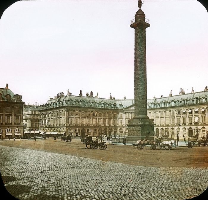
History: Old Photos Of Paris, 1900, France
|
Geography
Paris is located in the north-bending arc of the river Seine and includes two islands, the Île Saint-Louis and the larger Île de la Cité, which form the oldest part of the city. Overall, the city is relatively flat, and the lowest point is 35 m (115 ft) above sea level. Paris has several prominent hills, of which the highest is Montmartre at 130 m (427 ft).
Excluding the outlying parks of Bois de Boulogne and Bois de Vincennes, Paris covers an oval measuring 86.928 km2 (34 sq mi) in area. The city's last major annexation of outlying territories in 1860 not only gave it its modern form but also created the twenty clockwise-spiralling arrondissements (municipal boroughs). From the 1860 area of 78 km2 (30 sq mi), the city limits were expanded marginally to 86.9 km2 (34 sq mi) in the 1920s. In 1929, the Bois de Boulogne and Bois de Vincennes forest parks were officially annexed to the city, bringing its area to the present 105.39 km2 (41 sq mi).
|
|