|
|
Amazon Rainforest Jungle, South America
|
A 2009 study found that a 4 °C rise in global temperatures by 2100 would kill 85% of the Amazon rainforest while a temperature rise of 3 °C would kill some 75% of the Amazon.
• Remote sensing
The use of remotely sensed data is dramatically improving conservationists' knowledge of the Amazon Basin. Given the objectivity and lowered costs of satellite-based land cover analysis, it appears likely that remote sensing technology will be an integral part of assessing the extent and damage of deforestation in the basin. Furthermore, remote sensing is the best and perhaps only possible way to study the Amazon on a large-scale.
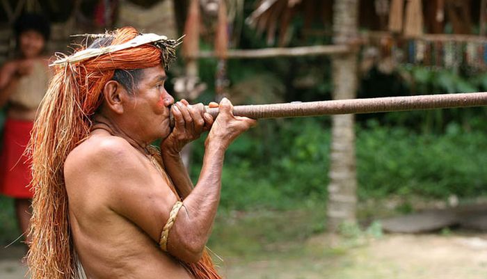
The use of remote sensing for the conservation of the Amazon is also being used by the indigenous tribes of the basin to protect their tribal lands from commercial interests. Using handheld GPS devices and programs like Google Earth, members of the Trio Tribe, who live in the rainforests of southern Suriname, map out their ancestral lands to help strengthen their territorial claims. Currently, most tribes in the Amazon do not have clearly defined boundaries, making it easier for commercial ventures to target their territories.
|
|