|
|
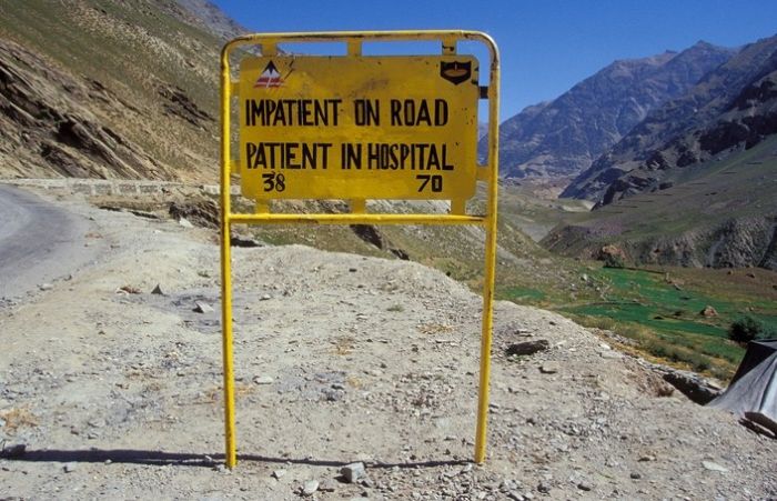
Leh–Manali Highway Road Signs, Jammu - Kashmir - Himachal Pradesh States, India
|
11: Zingzingbar to Baralacha La pass at 5,030 m (16,500 ft) elevation 18 km (11 mi). It is a steady climb. Both the Bhaga river and the Chandra river originate from melting snow at opposite sides of Baralacha La, the former flowing southwest and the latter flowing first southeast and then northwest to merge at Tandi.
12: Baralacha La to Bharatpur 2 km (1.2 mi). It is a steady descent.
13: Bharatpur to Sarchu at 4,300 m (14,100 ft) elevation 38 km (24 mi). Sarchu is a military base and has a police check post. Register at the police check post. Himachal Pradesh state ends there. Ladakh region of Jammu and Kashmir state starts there.
14: Sarchu to Pang 4,600 m (15,100 ft) elevation 80 km (50 mi) climbing 500 m through the Gata loops (22 hairpin bends) at 4,190 m (13,750 ft) elevation and traversing through Nakee La pass at 4,739 m (15,547 ft) and Lachulung La pass at 5,065 m (16,616 ft) elevations. Register at the check post at Pang.
|
|