|
|
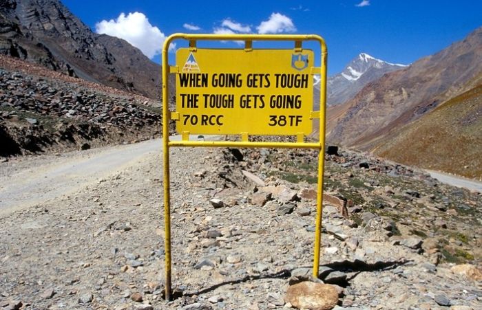
Leh–Manali Highway Road Signs, Jammu - Kashmir - Himachal Pradesh States, India
|
5: Kokhsar to Sissu at 3,130 m (10,270 ft) elevation 25 km (16 mi). There is a helipad at Sissu.
6: Sissu to Tandi at 2,570 m (8,430 ft) elevation 8 km (5.0 mi). Tandi is situated at the bottom of the river valley at the confluence of the Chandra river and the Bhaga river (flowing down from north) which merge to form the Chandra-Bhaga river (that later becomes known as Chenab downstream in Jammu and Kashmir). Cross the Bhaga river over the bridge towards the right, take the right turn at the fork and the road again starts climbing.
7: Tandi to Keylong at 3,080 m (10,100 ft) elevation 9 km (5.6 mi).
8: Keylong to Jispa at 3,310 m (10,860 ft) elevation 22 km (14 mi).
|
|