|
|
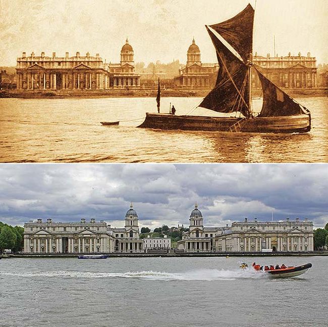
History: London Then And Now, 1897-2012, England, United Kingdom
|
Roads
Although the majority of journeys involving Central London are made by public transport, car travel is common in the suburbs. The inner ring road (around the city centre), the North and South Circular roads (in the suburbs), and the outer orbital motorway (the M25, outside the built-up area) encircle the city and are intersected by a number of busy radial routes—but very few motorways penetrate into inner London. The M25 is the longest ring-road motorway in the world at 195.5 km (121.5 mi) long.
A plan for a comprehensive network of motorways throughout the city (the Ringways Plan) was prepared in the 1960s but was mostly cancelled in the early 1970s. In 2003, a congestion charge was introduced to reduce traffic volumes in the city centre. With a few exceptions, motorists are required to pay £8 per day to drive within a defined zone encompassing much of congested Central London. Motorists who are residents of the defined zone can buy a vastly reduced season pass which is renewed monthly and is cheaper than a corresponding bus fare. London is notorious for its traffic congestion, with the M25 motorway the busiest stretch in the country. The average speed of a car in the rush hour is 10.6 mph (17.1 km/h).
|
|