|
|
Iran
|
Geography
Iran is the eighteenth largest country in the world, with an area of 1,648,000 km2 (636,000 sq mi).
Its area roughly equals that of the United Kingdom, France, Spain, and Germany combined, or somewhat more than the US state of Alaska. Iran lies between latitudes 24° and 40° N, and longitudes 44° and 64° E. Its borders are with Azerbaijan (611 km/380 mi (with Azerbaijan-Naxcivan exclave (179 km/111 mi )) and Armenia (35 km/22 mi) to the north-west; the Caspian Sea to the north; Turkmenistan (992 km/616 mi) to the north-east; Pakistan (909 km/565 mi) and Afghanistan (936 km/582 mi) to the east; Turkey (499 km/310 mi) and Iraq (1,458 km/906 mi) to the west; and finally the waters of the Persian Gulf and the Gulf of Oman to the south.
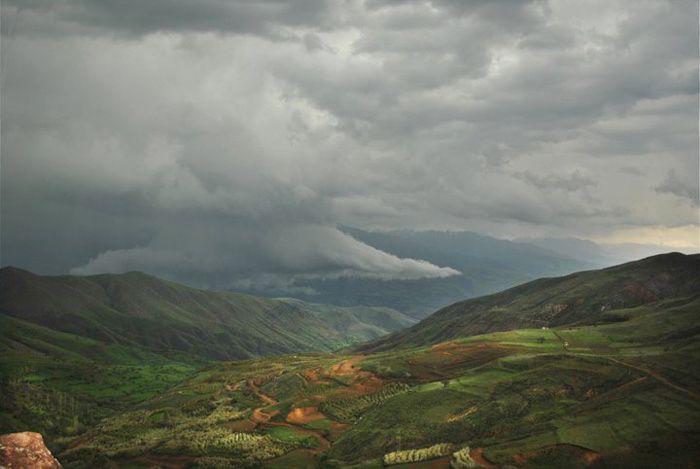
Iran consists of the Iranian Plateau with the exception of the coasts of the Caspian Sea and Khuzestan Province. It is one of the world's most mountainous countries, its landscape dominated by rugged mountain ranges that separate various basins or plateaux from one another. The populous western part is the most mountainous, with ranges such as the Caucasus, Zagros and Alborz Mountains; the last contains Iran's highest point, Mount Damavand, Babol at 5,610 m (18,406 ft), which is also the highest mountain on the Eurasian landmass west of the Hindu Kush.
|
|