|
|
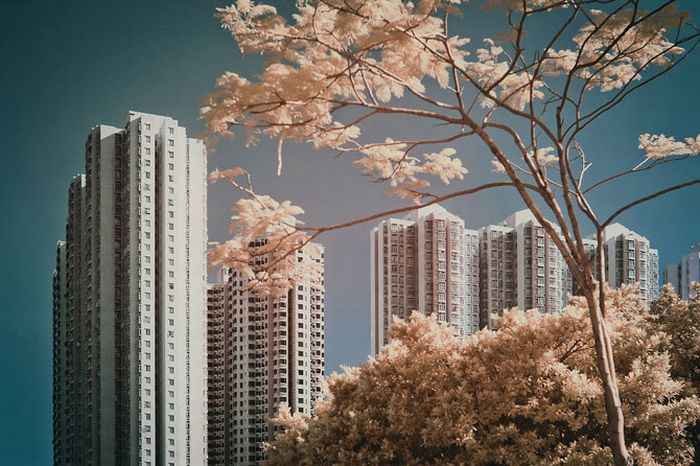
Infrared Photography, Hong Kong, China
|
Geography and climate
Hong Kong is located on China's south coast, 60 km (37 mi) east of Macau on the opposite side of the Pearl River Delta. It is surrounded by the South China Sea on the east, south, and west, and borders the Guangdong city of Shenzhen to the north over the Shenzhen River. The territory's 1,104 km2 (426 sq mi) area consists of Hong Kong Island, the Kowloon Peninsula, the New Territories, and over 200 offshore islands, of which the largest is Lantau Island. Of the total area, 1,054 km2 (407 sq mi) is land and 50 km2 (19 sq mi) is inland water. Hong Kong claims territorial waters to a distance of 3 nautical miles (5.6 km). Its land area makes Hong Kong the 179th largest inhabited territory in the world.
As much of Hong Kong's terrain is hilly to mountainous with steep slopes, less than 25% of the territory's landmass is developed, and about 40% of the remaining land area is reserved as country parks and nature reserves. Most of the territory's urban development exists on Kowloon peninsula, along the northern edge of Hong Kong Island, and in scattered settlements throughout the New Territories. The highest elevation in the territory is at Tai Mo Shan, 957 metres (3,140 ft) above sea level. Hong Kong's long and irregular coast provides it with many bays, rivers and beaches.
|
|