|
|
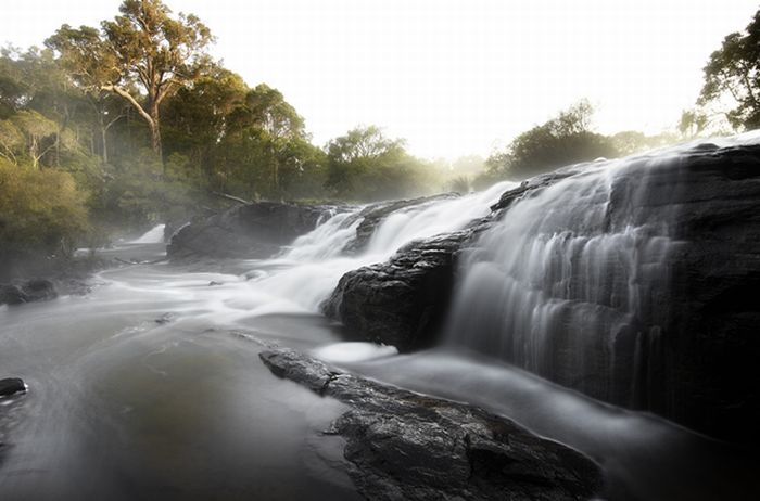
Photos Of Australia
|
Australia's landmass of 7,617,930 square kilometres (2,941,300 sq mi) is on the Indo-Australian Plate. Surrounded by the Indian and Pacific oceans, it is separated from Asia by the Arafura and Timor seas. The world's smallest continent and sixth largest country by total area, Australia—owing to its size and isolation—is often dubbed the "island continent", and is sometimes considered the world's largest island. Australia has 34,218 kilometres (21,262 mi) of coastline (excluding all offshore islands), and claims an extensive Exclusive Economic Zone of 8,148,250 square kilometres (3,146,060 sq mi). This exclusive economic zone does not include the Australian Antarctic Territory. Excluding Macquarie Island, Australia lies between latitudes 9° and 44°S, and longitudes 112° and 154°E.
The Great Barrier Reef, the world's largest coral reef, lies a short distance off the north-east coast and extends for over 2,000 kilometres (1,240 mi). Mount Augustus, claimed to be the world's largest monolith, is located in Western Australia. At 2,228 metres (7,310 ft), Mount Kosciuszko on the Great Dividing Range is the highest mountain on the Australian mainland, although Mawson Peak on the remote Australian territory of Heard Island is taller at 2,745 metres (9,006 ft).
Australia is the flattest continent, with the oldest and least fertile soils; desert or semi-arid land commonly known as the outback makes up by far the largest portion of land. The driest inhabited continent, only its south-east and south-west corners have a temperate climate. The population density, 2.8 inhabitants per square kilometre, is among the lowest in the world, although a large proportion of the population lives along the temperate south-eastern coastline.
Eastern Australia is marked by the Great Dividing Range that runs parallel to the coast of Queensland, New South Wales, and much of Victoria—although the name is not strictly accurate, as in parts the range consists of low hills and the highlands are typically no more than 1,600 metres (5,249 ft) in height. The coastal uplands and a belt of Brigalow grasslands lie between the coast and the mountains, while inland of the dividing range are large areas of grassland. These include the western plains of New South Wales, and the Einasleigh Uplands, Barkly Tableland, and Mulga Lands of inland Queensland. The northern point of the east coast is the tropical rainforested Cape York Peninsula.
|
|