|
|
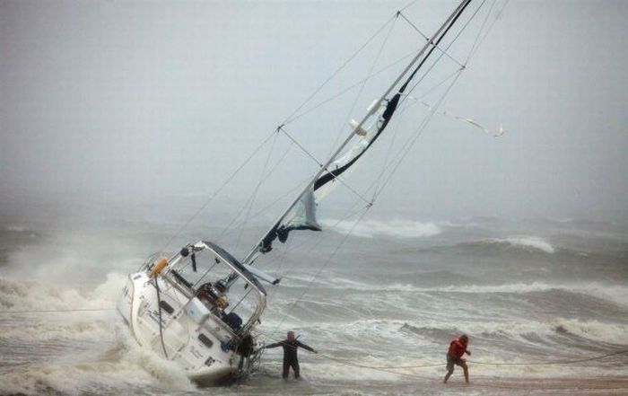
Hurricane Irene 2011, Atlantic, Caribbean
|
In northeastern Haiti, the prolonged precipitation overflowed rivers and produced surface floods and damaging landslides across multiple road sections. About 500 residents in risk zones evacuated while some sought shelter, but only one of more than 160 evacuation sites required usage. Rough surge produced high coastal flooding, with some reports of thousands of damaged homes. In the vicinity of Port-au-Prince, brisk winds blew down many refuge tents home to victims from the major January 12, 2010 earthquake. Overall, officials indicated impact was less severe than initially feared; the storm only left isolated flood damage in its wake, particularly throughout northern parts of the country. However, two people lost their lives after being caught in swollen rivers, and four others suffered injuries.
• Cuba
As Irene was tracking through the Bahamas, the outerbands of the storm dropped light rainfall in eastern Cuba. The cities of Moa and Sagua de Tánamo in Holguín Province reported 2.36 in (60 mm) of rain. However, the average rainfall throughout the Holguín Province did not exceed 0.20 in (5.1 mm). Some damage occurred throughout Guantánamo Province, where rough surf and rains caused flooding in Baracoa. In addition, waves of 10 to 12 feet high were seen in Gibara, Holguín, on Wednesday 24th, when Irene's eye was located between Acklins and Crooked Islands, Bahamas, just 270 km northeast of the city. The strong waves, combined with high tide, caused a slight coastal flooding.
|
|