|
|
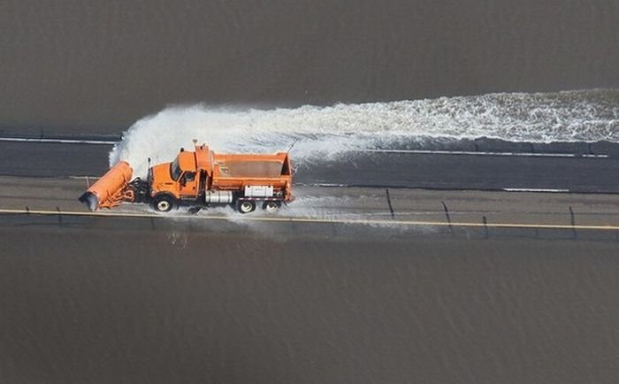
2011 Red River Flood, North Dakota, Minnesota, United States
|
The Red River flows from the United States into Lake Winnipeg in Manitoba, Canada. Unlike the vast majority of rivers in the United States, it flows northward, which means melting snow and river ice, as well as runoff from its tributaries, often create ice dams, which cause the river to overflow. The valley is essentially flat, leading to overland flooding, with no high ground on which to take refuge.
• Climate
Ground which was already saturated when it froze at the onset of winter, melting snow which could not be absorbed by the frozen ground, and additional precipitation from high winter snow fall, a rain storm on March 22 and a later snowstorm, high temperature snow melt rate, are reasons for the serious flooding.
A low-pressure area caused the rain storm on March 22 and by March 25 a total of 15 to 25 cm (6 to 10 inches) fell in the Winnipeg area, and 20 to 30 cm (8 to 12 inches) in southern Manitoba. In northeastern North Dakota and northwestern Minnesota, around 8 inches of snow accumulated from the same storm.
|
|