|
|
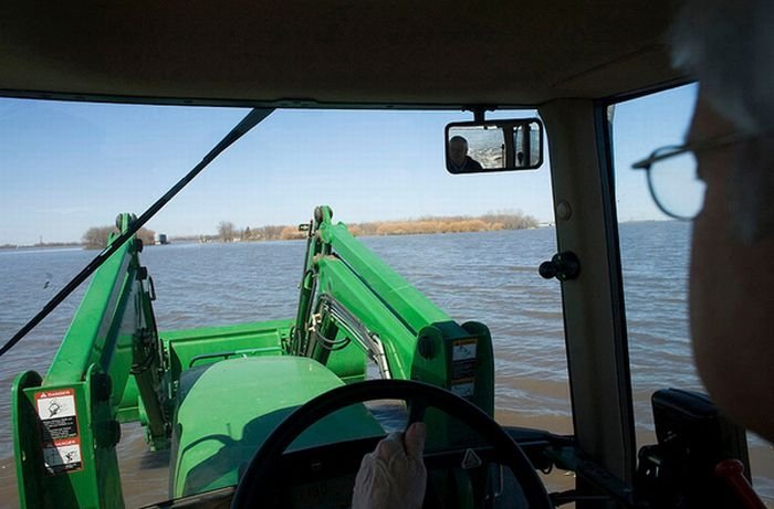
2011 Red River Flood, North Dakota, Minnesota, United States
|
Flooding and ice jam mitigation considerations
Structural adaptations to the river channel or the placement of dams and ice booms would control where ice jams would form. Hairpin curves and bridges are problem areas for the jamming of ice. Following the 1997 Red River Flood, Grand Forks and East Grand Forks smoothed out some of the river curves in those cities. Rural municipality reeves have approached the Canadian government with a CA$288,000 plan which would use the province of Manitoba's existing Amphibex ice-breaking excavators to dredge the Red River between Selkirk and the mouth of Lake Winnipeg.
|
|