|
|
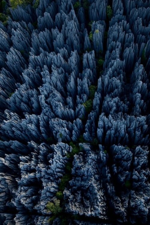
Tsingy De Bemaraha, Melaky Region, Madagascar
|
The plateau slopes gently to the east, but on the west it ends abrubtly in the "Wall of Ankarana", a sheer cliff that extends 25 kilometres (16 mi) north to south, and rises as high as 280 metres (920 ft) . To the south, the limestone mass breaks up into separate spires known as tower karst. In the center of the plateau, eons of rainfall have dissolved the limestone away in deep gorges, and sometimes redeposited it in ribbons of flowstone. In places where the chalky upper layers have been completely eroded, the harder base rock has been etched into channels and ridges known as tsingy.
Karst topography is a landscape shaped by the dissolution of a layer or layers of soluble bedrock, usually carbonate rock such as limestone or dolomite.
Due to subterranean drainage, there may be very limited surface water, even to the absence of all rivers and lakes. Many karst regions display distinctive surface features, with sinkholes or dolines being the most common. However, distinctive karst surface features may be completely absent where the soluble rock is mantled, such as by glacial debris, or confined by a superimposed non-soluble rock strata. Some karst regions include thousands of caves, even though evidence of caves that are big enough for human exploration is not a required characteristic of karst.
|
|