|
|
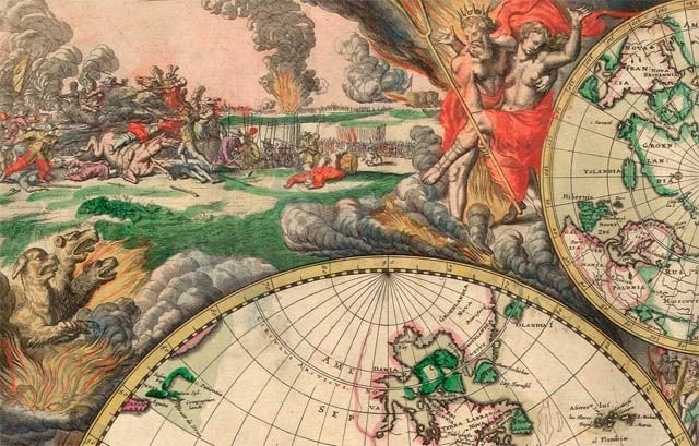
Unusual World Map
|
- Medieval European T and O maps such as the Hereford Mappa Mundi were centred on Jerusalem with East at the top. Indeed, prior to the reintroduction of Ptolemy's Geography to Europe around 1400, there was no single convention in the West. Portolan charts, for example, are oriented to the shores they describe.
- Maps of cities bordering a sea are often conventionally oriented with the sea at the top.
- Route and channel maps have traditionally been oriented to the road or waterway they describe.
- Polar maps of the Arctic or Antarctic regions are conventionally centred on the pole; the direction North would be towards or away from the centre of the map, respectively. Typical maps of the Arctic have 0° meridian towards the bottom of the page; maps of the Antarctic have the 0° meridian towards the top of the page.
|
|