|
|
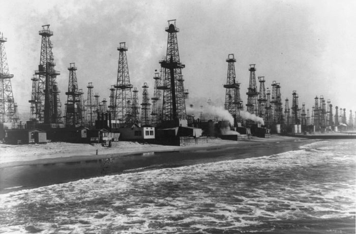
Los Angeles City Oil Field, Los Angeles, California, United States
|
Terrain in the vicinity of the Los Angeles City field includes gently rolling hills cut by ravines draining south. Elevations range from around 250 to 500 feet (150 m) above sea level, with the highest elevations in Elysian Park near Dodger Stadium. Urban development is dense in the part of Los Angeles containing the field's former productive area, with numerous apartment blocks mixed with commercial and light industrial structures. U.S. Highway 101, the Hollywood Freeway, parallels part of the field to the north, and California State Route 110, the historic Arroyo Seco Parkway – the first freeway in the United States – cuts directly through the eastern part of the field immediately south of Dodger Stadium. The neighborhoods that contain the field include, from west to east, Koreatown, Westlake, Echo Park, Chinatown, and Elysian Park.
Some significant public facilities built directly on the area of former oilfield operations include Shriners Hospital for Children, St. Vincent Medical Center, Belmont High School, and the Edward R. Roybal Learning Center.
|
|