|
|
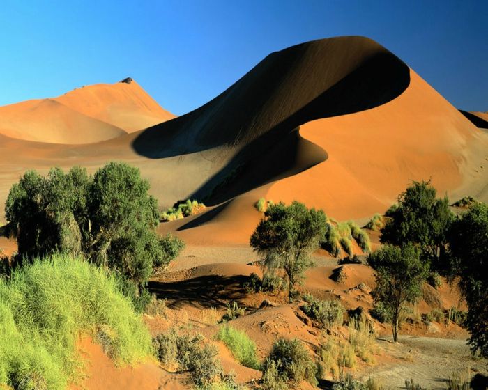
Desert Sand Dunes Landscape Photography
|
Rain does fall occasionally in deserts, and desert storms are often violent. A record 44 millimeters (1.7 in) of rain once fell within 3 hours in the Sahara. Large Saharan storms may deliver up to 1 millimeter per minute. Normally dry stream channels, called arroyos or wadis, can quickly fill after heavy rains, and flash floods make these channels dangerous.
Though little rain falls in deserts, deserts receive runoff from ephemeral, or short-lived, streams fed considerable quantities of sediment for a day or two. Although most deserts are in basins with closed or interior drainage, a few deserts are crossed by 'exotic' rivers that derive their water from outside the desert. Such rivers infiltrate soils and evaporate large amounts of water on their journeys through the deserts, but their volumes are such that they maintain their continuity. The Nile River, the Colorado River, and the Yellow River are exotic rivers that flow through deserts to deliver their sediments to the sea. Deserts may also have underground springs, rivers, or reservoirs that lie close to the surface, or deep underground. Plants that have not completely adapted to sporadic rainfalls in a desert environment may tap into underground water sources that do not exceed the reach of their root systems.
While deserts are well-known for their lack of water, some groups have adapted ways to find water in this harsh environment. The Bedouin, for example, turn over half-buried stones just before dawn so dew forms on them.
Lakes form where rainfall or meltwater in interior drainage basins is sufficient. Desert lakes are generally shallow, temporary, and salty. Because these lakes are shallow and have a low bottom gradient, wind stress may cause the lake waters to move over many square kilometers. When small lakes dry up, they leave a salt crust or hardpan. The flat area of clay, silt, or sand encrusted with salt that forms is known as a playa or a sink. There are more than a hundred playas in North American deserts. Most are relics of large lakes that existed during the last ice age about 12,000 years ago. Lake Bonneville was a 52,000-square-kilometer (20,000 mi²) lake almost 300 meters (1000 ft) deep in Utah, Nevada, and Idaho during the Ice Age. Today the remnants of Lake Bonneville include Utah's Great Salt Lake, Utah Lake, and Sevier Lake. Because playas are arid landforms from a wetter past, they contain useful clues to climatic change.
|
|