|
|
Iceland
|
Geography
Iceland is located at the juncture of the North Atlantic and Arctic oceans. The main island is entirely south of the Arctic Circle, which passes through the small Icelandic island of Grímsey off the main island's northern coast. The country lies between latitudes 63° and 68° N, and longitudes 25° and 13° W.
Iceland is closer to continental Europe than to mainland North America; thus, the island is generally included in Europe for historical, political, cultural, and practical reasons. Geologically the island includes parts of both continental plates. The closest body of land is Greenland (290 km, 180 mi). The closest bodies of land in Europe are the Faroe Islands (420 km, 260 mi); Jan Mayen Island (570 km, 350 mi); Shetland and the Outer Hebrides, both about 740 km (460 mi); and the Scottish mainland and Orkney, both about 750 km (470 mi). The mainland of Norway is about 970 km (600 mi) away.
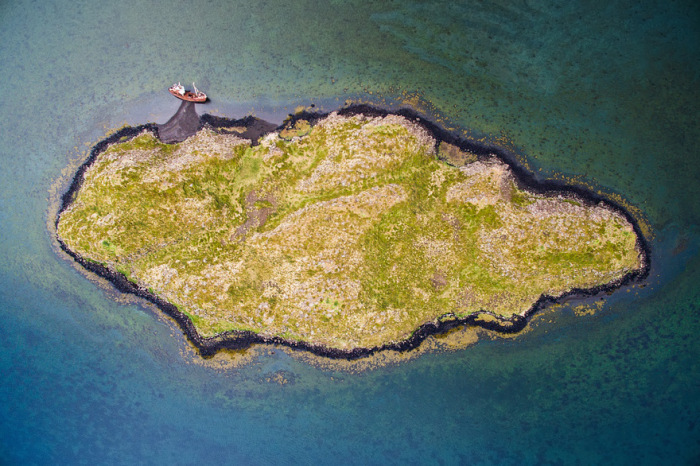
Iceland is the world's 18th largest island, and Europe's second largest island after Great Britain. The main island is 101,826 km2 (39,315 sq mi), but the entire country is 103,000 km2 (39,768.5 sq mi) in size, of which 62.7% is tundra. There are thirty minor islands in Iceland, including the lightly populated Grímsey and the Vestmannaeyjar archipelago. Lakes and glaciers cover 14.3% of its surface; only 23% is vegetated. The largest lakes are Þórisvatn reservoir: 83–88 km2 (32–34 sq mi) and Þingvallavatn: 82 km2 (32 sq mi); other important lakes include Lagarfljót and Mývatn. Jökulsárlón is the deepest lake, at 248 m (814 ft).
|
|