|
|
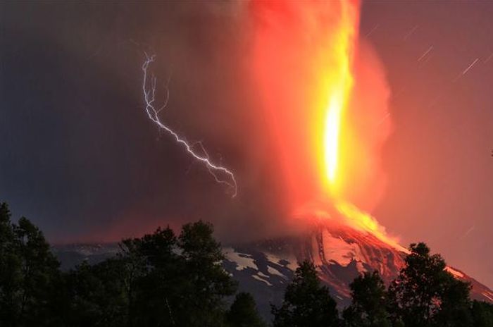
Villarrica Rucapillán Volcano Eruption, Araucania Region, Andes, Chile
|
Glaciers
The upper part of Villarrica is permanently covered by snow and has some 40 km2 of glaciers, the largest of which is the Pichillancahue-Turbio Glacier situated on its southeastern flank. Ash from the eruptions can increase the ablation of snow and ice by absorption of solar radiation. Some ash coverings are thicker than 5 cm and insulate the glacier, decreasing ablation instead of enhancing it. Between 1961 and 2003, Villarrica lost 25% of its glaciated surface and the glaciers shrank at an average rate of -0.4 km2 each year.
|
|