|
|
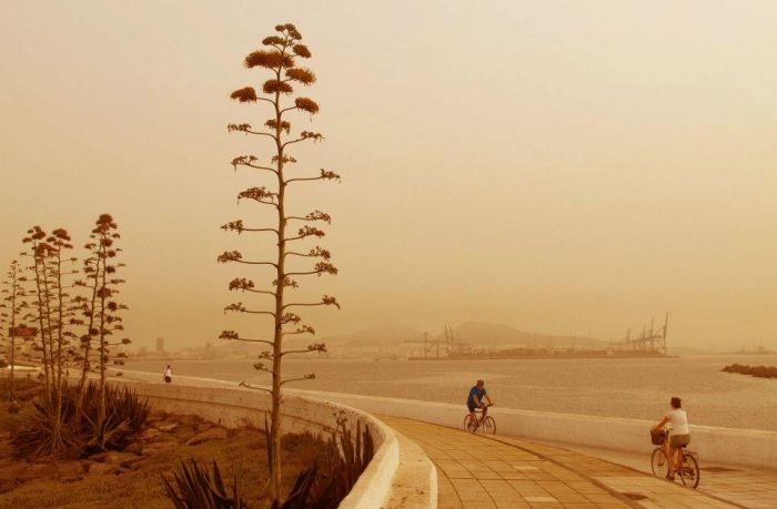
Calima, Saharan Air Layer, Sahara, Canary Islands, Africa
|
Disturbances such as large thunderstorm complexes over North Africa periodically result in vast dust and sand storms, some of which extend as high as 6,000 meters. These can be driven out to sea within the SAL as far west as North America.
In the case of Africa, winds blow twenty percent of dust from a Saharan storm out over the Atlantic Ocean, and twenty percent of that, or four percent of a single storm's dust, reaches all the way to the western Atlantic. The remainder settles out into the ocean or washes out of the air with rainfall. Scientists think that the July 2000 measurements made in Puerto Rico, nearly 8 million tonnes, equaled about one-fifth of the total year's dust deposits.
This phenomenon can happen at any time of year but is usually associated with the hot air found over the islands during the summer months, ranging in time scale from a few hours up to a week. Calima as it is called, is caused by a duststorm that is stirred up by high winds in the Sahara and is then driven over the Canary Islands by south easterly winds. The fine sand particles cause the air to become thick and visibility becomes rather like that experienced during a thick fog, depending on the severity. During the calima, every surface will be covered in fine reddish brown dust.
These clouds of dust are visible in satellite photos as a milky white to gray shade, similar to haze.
|
|