History: American Old West, United States
|
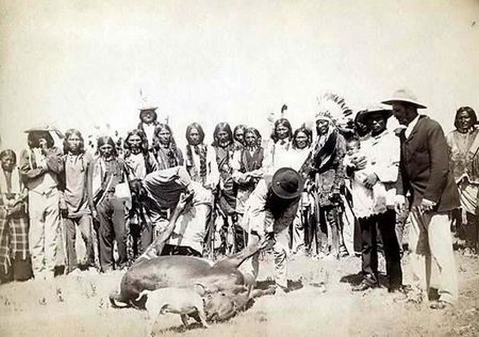
The federal government established a sequence of actions related to control over western lands. First, it acquired western territory from other nations or native tribes by treaty, then it sent surveyors and explorers to map and document the land, next it ordered federal troops to clear out and subdue the resisting natives, and finally, it had bureaucracies manage the land, such as the Bureau of Indian Affairs, the Land Office, the U.S. Geological Survey, and the Forest Service. The process was not a smooth one. Indian resistance, sectionalism, and racism forced some pauses in the process of westward settlement. Nonetheless, by the end of the 19th century, in the process of conquering and managing the West, the federal government amassed great size, power, and influence in national affairs.
• Early scientific exploration and surveys
A major role of the federal government was sending out surveyors, naturalists, and artists into the West to discover its potential. Following the Lewis and Clark expeditions, Zebulon Pike led a party in 1805-6, under the orders of General James Wilkinson, commander of the western American army. Their mission was to find the head waters of the Mississippi (which turned out to be Lake Itasca, and not Leech Lake as Pike concluded). Later, on other journeys, Pike explored the Red and Arkansas Rivers in Spanish territory, eventually reaching the Rio Grande. On his return, Pike sighted the peak named after him, was captured by the Spanish and released after a long overland journey. Unfortunately, his documents were confiscated to protect territorial secrets and his later recollections were rambling and not of high quality. Major Stephen H. Long led the Yellowstone and Missouri expeditions of 1819-1820, but his categorizing of the Great Plains as arid and useless led to the region getting a bad reputation as the "Great American Desert", which discouraged settlement in that area for several decades.
In 1811, naturalists Thomas Nuttall and John Bradbury traveled up the Missouri River with the Astoria expedition, documenting and drawing plant and animal life. Later, Nuthall explored the Indian Territory (Oklahoma), the Oregon Trail, and even Hawaii. His book A Journal of Travels into the Arkansas Territory was an important account of frontier life. Although Nuthall was the most traveled Western naturalist before 1840, unfortunately most of his documentation and specimens were lost. Artist George Catlin traveled up the Missouri as far as present-day North Dakota, producing accurate paintings of Native American culture. He was supplemented by Karl Bodmer, who accompanied the Prince Maximilian expedition, and made compelling landscapes and portraits. In 1820, John James Audubon traveled about the Mississippi Basin collecting specimens and making sketches for his monumental books Birds of America and The Viviparous Quadrupeds of North America, classic works of naturalist art. By 1840, the discoveries of explorers, naturalists, and mountain men had produced maps showing the rough outlines of the entire West to the Pacific Ocean.
|
|