|
|
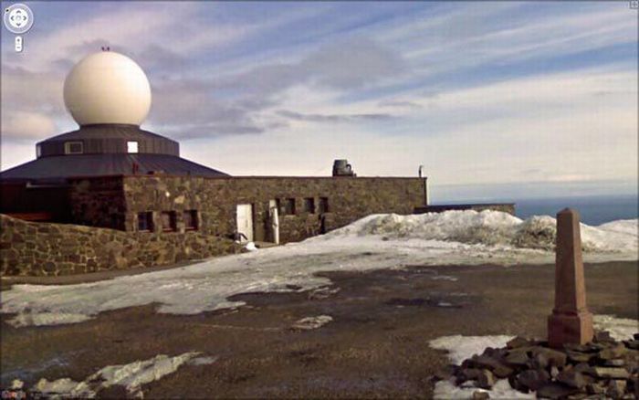
Google Street View Photos
|
Google Street View was first introduced in the United States on May 25, 2007, and only covered areas of the United States until July 2, 2008. Currently, images can be seen in at least nine countries (although parts of other countries can be seen from locations located near national borders; for example, large portions of Vatican City can be viewed from Rome's streetview). Introductions have generally occurred every 2 days to 100 days. Up until November 26, 2008, major cities (and early on, the only cities) were marked by camera icons, more of which were added each time. Then, all camera icons were discontinued in favor simply of "blue" coverage.
North America
The United States was the first country to have Street View images and was the only country with images for over a year following introduction. Early on, most locations had a limited number of views, usually constrained to the city limits and only including major streets, and they only showed the buildings up to a certain height. Few suburbs or other nearby cities were included.
|
|