|
|
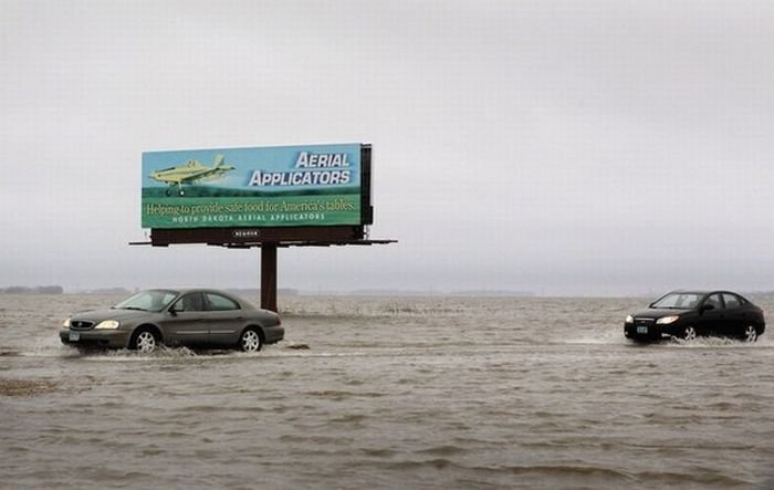
2011 Red River Flood, North Dakota, Minnesota, United States
|
Prime Minister Stephen Harper toured the flooded area on April 14, 2009. Damages were expected to be in the millions. On April 15, 2009 Winnipeg declared a local state of emergency due to several of the rivers, which flow into the Red River, swelling extremely fast. On April 16, 2009 the Red River crested in Winnipeg at 22.6 feet (6.9 m) before retreating. If Winnipeg had not had any flood protection, the city would have been 9.23 meters (30 ft) submerged. The crest from North Dakota was expected to hit either April 19 or April 20 and forced 28,000 evacuations. 777 km2 (300 sq mi) are under water at some places 19 kilometers (12 mi) wide as reported April 18. 740 people were evacuated from the Peguis First Nation, which is located north of Winnipeg. Peguis Chief Glenn Hudson said "either build a dike, or a floodway around ... I think we have to do something," Steve Ashton, minister responsible for the emergency measures organization, said that Disaster Financial Assistance was doubled to $200,000. The Federal Government was expected to assist with up to 90% of the relief, and 100% on reserves.
The province assessed whether homeowner buyouts would be voluntary or mandatory. "We'd look at voluntary buyouts as the first option, but the municipalities have raised this ...they're the ones that have to send in first responders and rescue crews," said Steve Ashton, the province's Emergency Measures Minister. Mayor Sam Katz reported an estimated $5 million for sandbag flood prevention costs, which included making and setting into place the sandbags and patrolling them, and then removing them after the river went back down. Some roads and bridges were also damaged as a result of flooding. Peguis Chief Glen Hudson estimated the evacuation and dike construction for the first nation reserve was pegged at approximately $3 million. A water quality warning went into effect, and residents who remained were advised to boil water before use. Free water analysis was provided by the Manitoba government until July. On April 20, the total amount of land submerged was upgraded to 1,680 km2 (650 sq mi), and the river crest was still 60 kilometers (37 mi) south of Winnipeg.
|
|