|
|
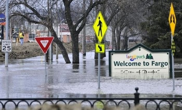
2011 Red River Flood, North Dakota, Minnesota, United States
|
• Grand Forks
In the Grand Forks, North Dakota area, flood predictions released February 27 predicted a possibility of a flood crest between 44 feet (13 m) and 46 feet (14 m). The snowstorm that struck March 9–10 raised the predicted levels between 47 feet (14 m) and 50 feet (15 m) prompting the city to declare a state of emergency. On March 22 the predicted crest level was changed to 52 feet (16 m).
• Manitoba
In Manitoba, the 2009 flood was the second worst on record since 1826. The Red River Floodway was not initially opened, due to the Red River being full of ice, which can lead to damage of the floodway and the flooding of Selkirk. The Red River Floodway was opened in early April once the ice jams cleared. Several towns and R.M.s declared a state of emergency due to the ice jams built up in places along the Red. Flooding in Manitoba was not expected until the second week of April. The CPR Line from Winnipeg to Emerson closed.
|
|