|
|
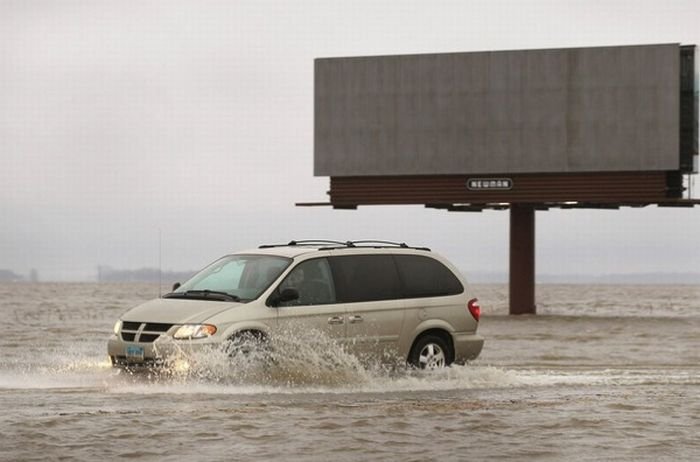
2011 Red River Flood, North Dakota, Minnesota, United States
|
Warnings for the 2009 flood occurred as early as March 9 when the National Weather Service warned that the Fargo-Moorhead area could see a significant flood of between 35 feet (11 m) and 36 feet (11 m). As preparations began for the flooding on March 16, North Dakota Governor John Hoeven declared a statewide disaster in anticipation of flooding across the state. On March 19, the National Weather Service raised the predicted flood level in the Fargo area to between 37 feet (11 m) and 40 feet (12 m). The city began filling sandbags on March 20. In anticipation of a rain and snow storm, the predicted crest level was raised on March 22 to a range from 39 feet (12 m) to 41 feet (12 m).
Volunteers continued preparing sandbags, with 560,000 bags filled by late March 22, out of an expected 1.5 million to 2 million needed. By March 24, residents in Fargo-Moorhead had filled over 1 million sandbags and were attempting to fill a total of 2 million by the 26th. A levee in Georgetown, Minnesota was raised another two feet, and emergency dikes were being built in Fargo, Moorhead, Harwood, Grafton and Richland County. The predicted flood crest was raised again on March 26, changed to between 41 feet (12 m) and 42 feet (13 m) by March 28, with a possibility of 43 feet (13 m).
In addition to the sandbags, the construction of the dikes protecting the city required large amounts of clay. Clay had been brought from several places in and around the city, including the soccer field at Centennial Elementary School and around Discovery Middle School.
|
|