|
|
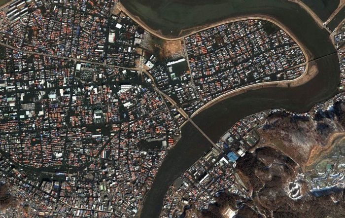
Aerial Photos Before And After 2011 Earthquake And Tsunami, Japan
|
The earthquake triggered tsunami warnings and evacuations for Japan's Pacific coast and at least 20 countries, including the entire Pacific coast of North and South America from Alaska to Chile. Most of the damage and destruction occurred along the Pacific coastline of Japan's northern islands, with relatively minor effects elsewhere around the Pacific.
Japan
The tsunami warning issued by Japan was the most serious on its warning scale, implying that the wave was expected to be at least 10 m (33 ft) high. The earthquake took place at 14:46 JST around 200 kilometers from the nearest point on Japan's coastline (to the west), and initial estimates indicated the tsunami would have taken 10 to 30 minutes to reach the areas first affected, and then areas further north and south depending on the geography of the coastline. Just over an hour after the earthquake, a tsunami was observed at 15:55 JST flooding Sendai Airport, which is located near the coast of Miyagi Prefecture, with waves sweeping away cars and planes and flooding various buildings as they traveled inland. The impact of the tsunami in and around Sendai Airport was filmed by an NHK News helicopter, showing a number of vehicles on local roads trying to escape the approaching wave and being engulfed by it. A 4-meter (13 ft)-high tsunami hit Iwate Prefecture.
|
|