|
|
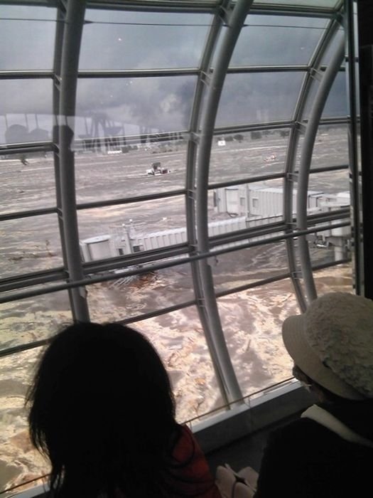
2011 Sendai Earthquake And Tsunami, Tōhoku Region, Pacific Ocean
|
Earthquake
The main earthquake was preceded by a number of large foreshocks, beginning with a 7.2 MW event on 9 March approximately 40 km (25 mi) from 11 March quake, and followed by another three on the same day in excess of 6 MW in magnitude. One minute prior to the effects of the earthquake being felt in Tokyo, the Earthquake Early Warning system connected to more than 1,000 seismometers in Japan sent out warnings on television of an impending earthquake to millions. This was possible because the damaging seismic S-waves, traveling at 4 kilometers per second, took about 90 seconds to travel the 373 km to Tokyo. The early warning is believed by the Japan Meteorological Agency to have saved many lives.
The earthquake occurred at 14:46 local time in the western Pacific Ocean, 130 km (81 mi) east of Sendai, Honshu, Japan. Its epicenter was 373 km (232 mi) from Tokyo, according to the United States Geological Survey (USGS). Multiple aftershocks were reported after the initial magnitude 8.9 – 9.0 quake. A magnitude 7.0 aftershock was reported at 15:06 local time, 7.4 at 15:15 local time and 7.2 at 15:26 local time. Over three hundred aftershocks of magnitude 4.5 or greater have occurred since the initial quake. Initially reported as 7.9 by the USGS, the magnitude was quickly upgraded to 8.8 and then to 8.9, and then again to either 9.0 or 9.1 according to some sources. This earthquake occurred in the Japan Trench, where the Pacific Plate is subducting beneath the Okhotsk Plate. A quake of this size usually has a rupture length of at least 480 km (300 mi) and requires a long, relatively straight fault line. Because the plate boundary and subduction zone in this region is not very straight, earthquake magnitudes are usually expected to be up to 8 to 8.5; the magnitude of this earthquake was a surprise to some seismologists. The hypocentral region of this earthquake extends from offshore Iwate to offshore Ibaraki Prefectures. The Japanese Meteorological Agency said that the earthquake may have ruptured the fault zone from Iwate to Ibaraki with a length of 500 km (310 mi) and a width of 200 km (120 mi). Analysis showed that this earthquake consisted of a set of three events. The earthquake may have had the same mechanism as that of another large earthquake in 869 with estimated magnitude Ms 8.6, which also caused a large tsunami.
The quake registered a maximum 7 on the Japan Meteorological Agency seismic intensity scale in Kurihara, Miyagi Prefecture. Three other prefectures—Fukushima, Ibaraki and Tochigi—recorded upper 6 on the JMA scale. Seismic stations in Iwate, Gunma, Saitama and Chiba Prefecture measured lower 6, recording upper 5 in Tokyo.
|
|