|
|
2011 Groundhog Day Blizzard, North America
|
Meteorological synopsis
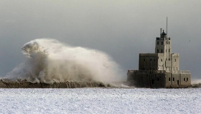
By the end of January, an Alberta Clipper containing cold air from the polar vortex drifted across The Dakotas, while a large Arctic high pressure system with a maximum pressure higher than 1,050 millibars (31 inHg) followed behind it, moving across Montana. A low pressure system from the Pacific Ocean later crossed the Rocky Mountains, merging with the Alberta Clipper low and a developing Texas low drawing moisture from the northwestern Gulf of Mexico. The storm later intensified, developing a long warm front stretching toward the New England states, and moving northeast along this jet stream track.
Lake effect snow events started over Lake Ontario and Lake Michigan from northeasterly winds. Following the predominant jet pattern, the storm developed a very rapid forward trajectory and began to migrate toward the lower Great Lakes. The heaviest snow fell in a wide swath from central Oklahoma to Illinois, Indiana and the Ohio Valley. An official blizzard warning was issued in Southern Ontario for the first time since 1993, although the Canadian definition changed in 2009.
|
|