|
|
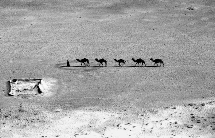
Bird's-eye View Of Afghanistan
|
Geography
A landlocked and mountainous country, with plains in the north and southwest, Afghanistan is variously described as being located within South Asia, Central Asia and sometimes Western Asia (or the Middle East). It lies between latitudes 29° and 39° N, and longitudes 60° and 75° E. Afghanistan's highest point is Nowshak, at 7,485 m (24,557 ft) above sea level. The climate varies by region and tends to change quite rapidly. Large parts of the country are dry, and fresh water supplies are limited. The endorheic Sistan Basin is one of the driest regions in the world.
The nation has a continental climate with very harsh winters in the central highlands, the glaciated northeast (around Nuristan) and the Wakhan Corridor, where the average temperature in January is below −15 °C (5.0 °F), and hot summers in the low-lying areas of Sistan Basin of the southwest, the Jalalabad basin of the east, and the Turkistan plains along the Amu River of the north, where temperatures average over 35 °C (95 °F) in July. The country is frequently subject to minor earthquakes, mainly in the northeast of Hindu Kush mountain areas. Some 125 villages were damaged and 4,000 people killed by the May 31, 1998, earthquake.
|
|