|
|
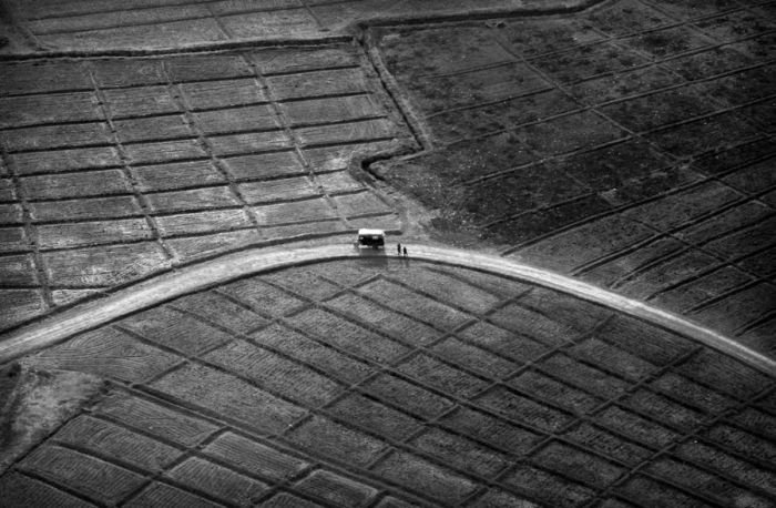
Bird's-eye View Of Afghanistan
|
Other parts of the country were at certain periods recognized as independent kingdoms, such as the Kingdom of Balkh in the late 18th and early 19th centuries. With the expansion and centralization of the country, Afghan authorities adopted and extended the name "Afghanistan" to the entire kingdom, after its English translation had already appeared in various treaties between the British Raj and Qajarid Persia, referring to the lands subject to the Pashtun Barakzai dynasty of Kabul. It became the official internationally recognized name in 1919 after the Treaty of Rawalpindi was signed to regain full independence over its foreign policy from the British, and was confirmed as such in the nation's 1923 constitution.
Geography
A landlocked and mountainous country, with plains in the north and southwest, Afghanistan is variously described as being located within South Asia, Central Asia and sometimes Western Asia (or the Middle East). It lies between latitudes 29° and 39° N, and longitudes 60° and 75° E. Afghanistan's highest point is Nowshak, at 7,485 m (24,557 ft) above sea level. The climate varies by region and tends to change quite rapidly. Large parts of the country are dry, and fresh water supplies are limited. The endorheic Sistan Basin is one of the driest regions in the world.
|
|