|
|
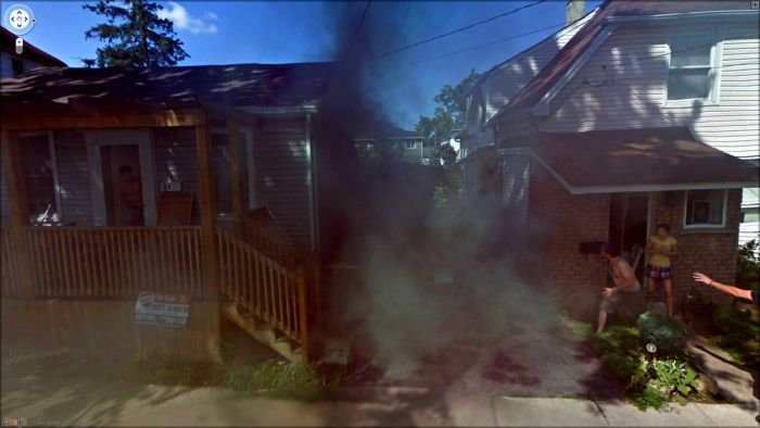
Google Street View Photos
|
Development
Google Street View was first introduced in the United States on May 25, 2007, and until November 26, 2008, featured camera icon markers, each representing at least one major city or area (such as a park), and usually the other nearby cities, towns, suburbs, and parks. Many areas that had coverage were not represented by icons.
• On May 12, 2008, Google announced that it was testing face-blurring technology on its photos of the busy streets of Manhattan. The technology uses a computer algorithm to search Google's image database for faces and blurs them, according to John Hanke, director of Google Earth and Google Maps.
• On April 16, 2008, Street View was fully integrated into Google Earth 4.3.
|
|