|
|
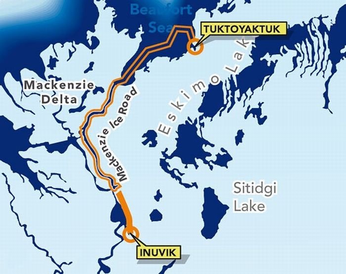
Ice Road To Tuktoyaktuk, Canada
|
Tuktoyaktuk is set on Kugmallit Bay, near the Mackenzie River Delta, and is located on the Arctic tree line.
Many locals still hunt, fish, and trap. Locals rely on caribou in the autumn, ducks and geese in both spring and autumn, and fishing year-round. Other activities include collecting driftwood, caribou herding, and berrypicking. Most wages today, however, come from tourism and transportation. Northern Transportation Company Limited (NTCL) is a major employer in this region. In addition, the oil and gas industry continues to employ explorers and other workers.
Tuktoyaktuk is the gateway for exploring Pingo National Landmark, an area protecting eight nearby pingos in a region which contains approximately 1,350 of these Arctic ice-dome hills. The landmark comprises an area roughly 16 km2 (6.2 sq mi), just a few miles west of the community, and includes Canada's highest (the world's second-highest) pingo, at 49 m (161 ft). It is managed by Parks Canada within the national park system, and, although a nationwide Landmarks program was envisioned, Pingo remains the country's only National Landmark.
|
|