History: Boston In The 1970s
|
Geography
Owing to its early founding, Boston is very compact. According to the United States Census Bureau, the city has a total area of 89.6 square miles (232.1 km²)—48.4 square miles (125.4 km²) (54.0%) of land and 41.2 square miles (106.7 km²) (46.0%) of water. Boston is the country's fourth most densely populated city that is not a part of a larger city's metropolitan area. This is largely attributable to the rarity of annexation by New England towns. Of United States cities with more than 600,000 people, only San Francisco is smaller in land area. Boston is surrounded by the "Greater Boston" region and is bordered by the cities and towns of Winthrop, Revere, Chelsea, Everett, Somerville, Cambridge, Watertown, Newton, Brookline, Needham, Dedham, Canton, Milton, and Quincy. The Charles River separates Boston proper from Cambridge, Watertown, and the neighborhood of Charlestown. To the east lies Boston Harbor and the Boston Harbor Islands National Recreation Area (BHINRA), which includes part of the city's territory, specifically Calf Island, Gallops Island, Great Brewster Island, Green Island, Little Brewster Island, Little Calf Island, Long Island, Lovells Island, Middle Brewster Island, Nixes Mate, Outer Brewster Island, Rainsford Island, Shag Rocks, Spectacle Island, The Graves, and Thompson Island. The Neponset River forms the boundary between Boston's southern neighborhoods and the city of Quincy and the town of Milton. The Mystic River separates Charlestown from Chelsea and Everett, and Chelsea Creek and Boston Harbor separate East Boston from Boston proper. Boston's official elevation, as measured at Logan International Airport, is 19 ft (5.8 m) above sea level. The highest point in Boston is Bellevue Hill at 330 ft (101 m) above sea level, and the lowest point is at sea level.
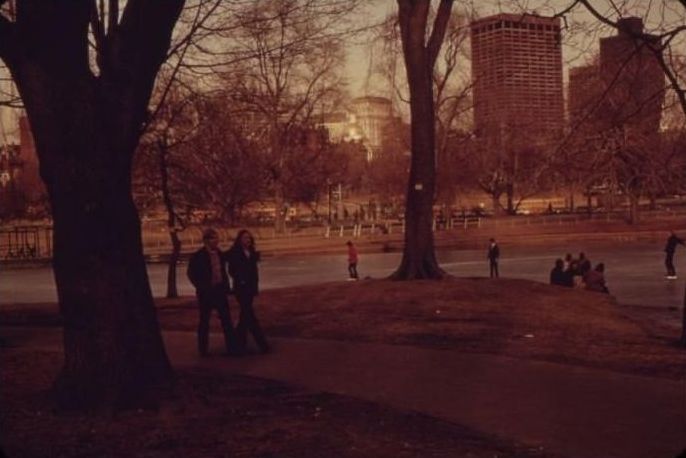
Much of the Back Bay and South End neighborhoods are built on reclaimed land—all of the earth from two of Boston's three original hills, the "trimount", was used as landfill material. Only Beacon Hill—the smallest of the three original hills—remains partially intact; only half of its height was cut down for landfill. The downtown area and immediate surroundings consist mostly of low-rise brick or stone buildings, with many older buildings in the Federal style. Several of these buildings mix in with modern high-rises, notably in the Financial District, Government Center, the South Boston waterfront, and Back Bay, which includes many prominent landmarks such as the Boston Public Library, Christian Science Center, Copley Square, Newbury Street, and New England's two tallest buildings—the John Hancock Tower and the Prudential Center.
|
|