History: Boston In The 1970s
|
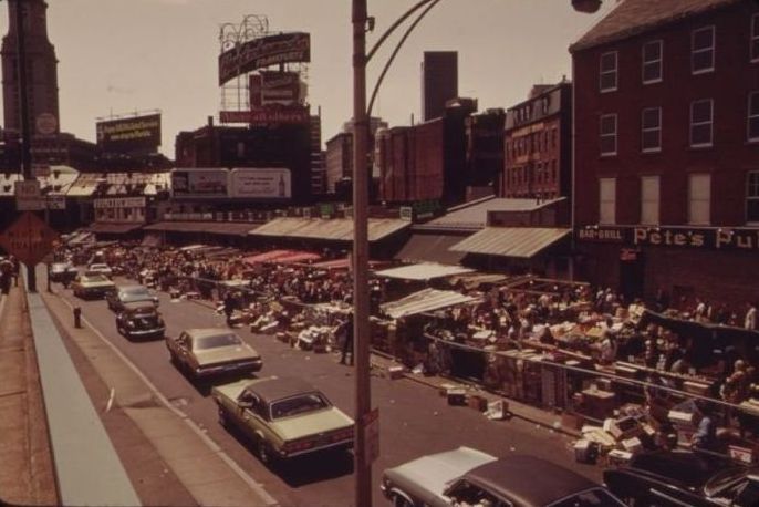
In the early 21st century, the city has become an intellectual, technological, and political center. It has, however, experienced a loss of regional institutions, which included the acquisition of The Boston Globe by The New York Times, and the loss to mergers and acquisitions of local financial institutions such as FleetBoston Financial, which was acquired by Charlotte-based Bank of America in 2004. Boston-based department stores Jordan Marsh and Filene's have both been merged into the New York–based Macy's. Boston has also experienced gentrification in the latter half of the 20th century, with housing prices increasing sharply since the 1990s. Living expenses have risen, and Boston has one of the highest costs of living in the United States, and was ranked the 99th most expensive major city in the world in a 2008 survey of 143 cities. Despite cost, Boston ranks high on livability ratings, ranking 35th worldwide in quality of living in 2009 in a survey of 215 major cities.
Geography
Owing to its early founding, Boston is very compact. According to the United States Census Bureau, the city has a total area of 89.6 square miles (232.1 km²)—48.4 square miles (125.4 km²) (54.0%) of land and 41.2 square miles (106.7 km²) (46.0%) of water. Boston is the country's fourth most densely populated city that is not a part of a larger city's metropolitan area. This is largely attributable to the rarity of annexation by New England towns. Of United States cities with more than 600,000 people, only San Francisco is smaller in land area. Boston is surrounded by the "Greater Boston" region and is bordered by the cities and towns of Winthrop, Revere, Chelsea, Everett, Somerville, Cambridge, Watertown, Newton, Brookline, Needham, Dedham, Canton, Milton, and Quincy. The Charles River separates Boston proper from Cambridge, Watertown, and the neighborhood of Charlestown. To the east lies Boston Harbor and the Boston Harbor Islands National Recreation Area (BHINRA), which includes part of the city's territory, specifically Calf Island, Gallops Island, Great Brewster Island, Green Island, Little Brewster Island, Little Calf Island, Long Island, Lovells Island, Middle Brewster Island, Nixes Mate, Outer Brewster Island, Rainsford Island, Shag Rocks, Spectacle Island, The Graves, and Thompson Island. The Neponset River forms the boundary between Boston's southern neighborhoods and the city of Quincy and the town of Milton. The Mystic River separates Charlestown from Chelsea and Everett, and Chelsea Creek and Boston Harbor separate East Boston from Boston proper. Boston's official elevation, as measured at Logan International Airport, is 19 ft (5.8 m) above sea level. The highest point in Boston is Bellevue Hill at 330 ft (101 m) above sea level, and the lowest point is at sea level.
|
|