|
|
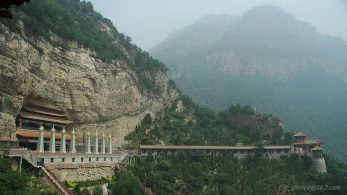
Shanxi Province, China
|
Shanxi is located on a plateau made up of higher ground to the east (Taihang Mountains) and the west (Lüliang Mountains) and a series of valleys in the center through which the Fen River runs. The highest peak is Mount Wutai (Wutai Shan) in northeastern Shanxi at an altitude of 3058 m. The Great Wall of China forms most of the northern border of ShanXi(山西) with Inner Mongolia. Hua mountain (华山), also part of being in He Nan(河南)is in part of the mountain range. The Huang He (Yellow River) forms the western border of Shanxi with Shaanxi. The Fen and Qin rivers, tributaries of the Huang He, run north-to-south through the province, and drain much of its area. The north of the province is drained by tributaries of the Hai River, such as Sanggan and Hutuo rivers. The largest natural lake in Shanxi is Xiechi Lake, a salt lake near Yuncheng in southwestern Shanxi.
People in most regions of Shanxi speak dialects of Jin, a subdivision of spoken Chinese. However, dialects in the southwest, near the border with Henan and Shaanxi, are classified as part of the Zhongyuan Mandarin subdivision of the Mandarin group rather than Jin. In terms of characteristics, Jin dialects are generally distinguished by their retention of the entering tone from Middle Chinese. In this respect they are unique in all of northern China, as most of the surrounding Mandarin dialects (spoken over the remainder of northern China) have lost it. (In central and southern China, it is much more common for the entering tone to be kept.) Jin is also noted for extremely complex tone sandhi systems.
|
|