|
|
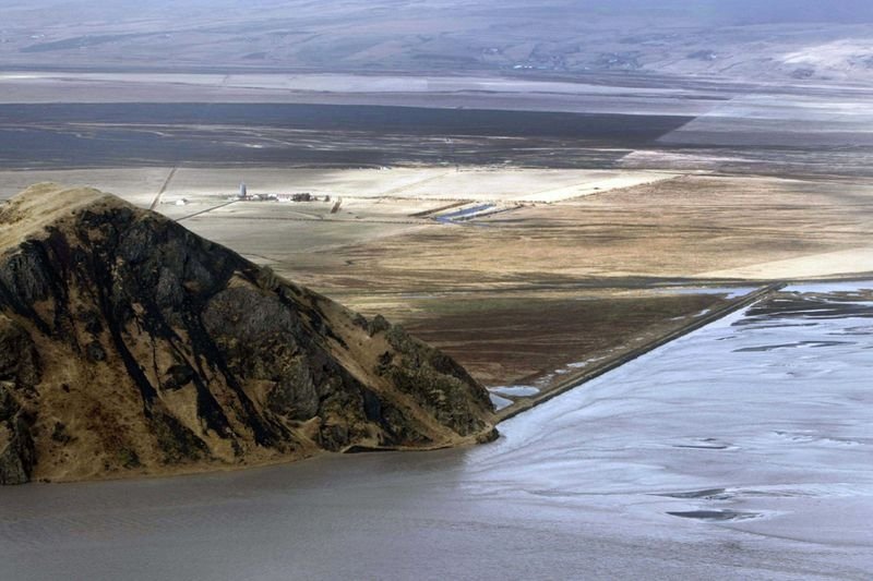
The Eruption Of Eyjafjallajökull Volcano, Skógar, Mýrdalsjökull, Iceland
|
Eyjafjallajökull—translated as "Eyja-fjalla glacier" or "island-fells glacier"—is one of the smaller glaciers of Iceland, situated to the north of Skógar and to the west of Mýrdalsjökull. The icecap of the glacier covers a volcano with a summit elevation of 1,666 metres (5,466 ft). The volcano has erupted relatively frequently since the last glacial period. Around December 2009, seismic activity was detected in the volcano area, with thousands of small earthquakes. On 26 February 2010, unusual seismic activity along with rapid expansion of the Earth's crust was registered by the Meteorological Institute of Iceland. The eruption is thought to have begun on 20 March 2010, about 8 kilometres (5.0 mi) east of the top crater of the volcano in a popular hiking region called Fimmvörðuháls. On 14 April 2010 Eyjafjallajökull resumed erupting after a brief pause. This second eruption threw volcanic ash several kilometres up in the atmosphere which led to air travel disruptions in northwest Europe starting on April 15, 2010, including the closure of airspace over most of Europe (over 60 thousand canceled flights).
|
|