|
|
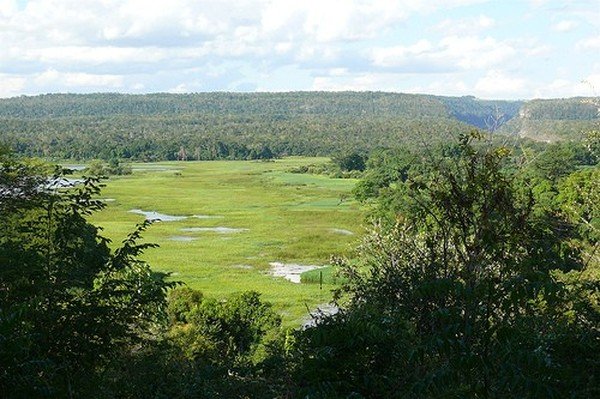
Stone Forest In Madagascar, Manambulu - Bemaraha
|
The island of Madagascar can be divided into three broad geographic zones. These include the highlands, a plateau region in the center of the island ranging in altitude from 750 to 1,500 m (2,460 to 4,920 ft) above sea level; a narrow and steep escarpment that runs the length of the eastern coast and contains much of the island's remaining tropical rain forest; and a wide, dry plain that gently slopes from the western boundaries of the highlands toward the Mozambique Channel. The central highlands, traditionally the homeland of the Merina people (the island's most numerous ethnic group) and location of their historic capital at Antananarivo, is the most densely populated part of the island and is characterized by terraced, rice-growing valleys lying between grassy, deforested hills. There, erosion has exposed the island's red laterite soil, source of the country's sobriquet "The Red Island". Madagascar's highest peaks arise from three prominent highland massifs: Maromokotro 9,436 ft (2,876 m) in the Tsaratanana Massif is the island's highest point, followed by Boby Peak 2,658 m (8,720 ft) in the Andringitra Massif and Tsiafajavona 2,643 m (8,671 ft) in the Ankaratra Massif. To the east, the Canal des Pangalanes is a chain of man-made and natural lakes connected by French-built canals just inland from the east coast, running parallel to it for some 600 km (370 mi). The western and southern sides, which lie in the rain shadow of the central highlands, are home to tropical dry forests, thorn forests, and deserts and xeric shrublands. Presumably due to relatively lower population densities, Madagascar's dry deciduous rain forest has been better preserved than the eastern rain forests or the original woodlands of the high central plateau. The western coast features many protected harbors, but silting is a major problem caused by sediment from the high levels of inland erosion carried by rivers crossing the vast western plains.
Climate
The combination of southeastern trade winds and northwestern monsoon winds produce a hot rainy season (November—April) with frequently destructive cyclones, and a relatively cooler dry season (May—October). Broadly speaking, the climate is tropical along the coast, temperate inland, moderately dry in the west, and arid in the south. Rain clouds originating over the Indian Ocean discharge much of their moisture over the island's eastern coast where precipitation as heavy as 3,800 mm (150 in) per year supports the area's rain forest ecosystem. The central highlands are both drier and cooler, while the west coast is drier still, with high aridity in the southwest and southern part of the island where a semi-desert climate prevails. Annual cyclones cause regular damage to infrastructure and local economies as well as loss of life. The most destructive since 1927 was Cyclone Geralda (February 2–4, 1994) which caused over 70 fatalities and left over 500,000 people homeless with the damage estimated at US$45 million.
|
|