|
|
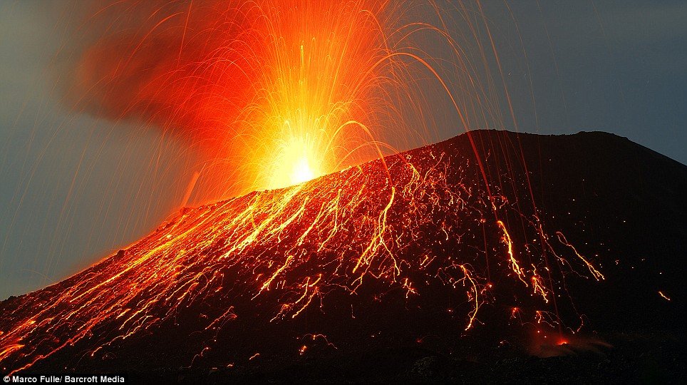
Krakatoa Volcanic Island, Indonesia
|
Geographical setting
Indonesia has over 130 active volcanoes, the most of any nation. They make up the axis of the Indonesian island arc system, which was produced by northeastward subduction of the Indo-Australian Plate. A majority of these volcanoes lie along Indonesia's two largest islands, Java and Sumatra. These two islands are separated by the Sunda Straits, which are located at a bend in the axis of the island arc. Krakatoa is directly above the subduction zone of the Eurasian Plate and the Indo-Australian Plate where the plate boundaries make a sharp change of direction, possibly resulting in an unusually weak crust in the region.
Before the 1883 eruption, Krakatoa comprised three main islands: Lang ("long," now called Rakata Kecil, or Panjang), and Verlaten ("forsaken" or "deserted," now Sertung), which were edge remnants of a previous very large caldera-forming eruption; and Krakatoa itself, an island 9 km (5.6 mi) long by 5 km (3.1 mi) wide. Also there was a tree-covered islet near Lang named Poolsche Hoed ("Polish Hat," apparently because it looked like one from the sea) and several small rocks or banks between Krakatoa and Verlaten. There were three volcanic cones on Krakatoa: Rakata, (820 m/2,690 ft) to the south; Danan, (450 m/1,480 ft) to the north; and Perboewatan, (120 m/390 ft) to the north (Danan may have been a twin volcano).
|
|