|
|
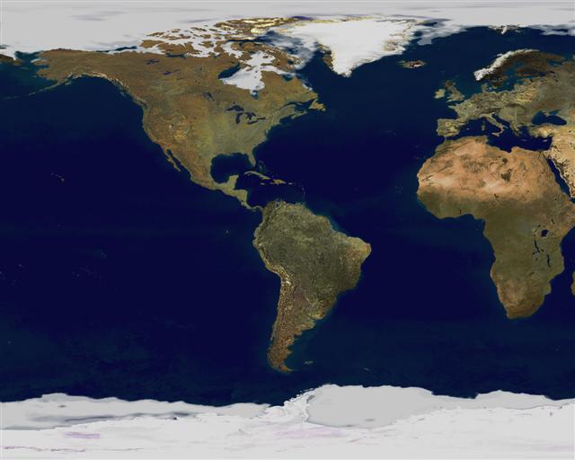
Earthmap
|
Aeroplane pilots use aeronautical charts based on a Lambert conformal conic projection, in which a cone is laid over the section of the earth to be mapped. The cone intersects the sphere (the earth) at one or two parallels which are chosen as standard lines. This allows the pilots to plot a great-circle route approximation on a flat, two-dimensional chart.
- Azimuthal or Gnomonic map projections are often used in planning air routes due to their ability to represent great circles as straight lines.
- Richard Edes Harrison produced a striking series of maps during and after World War II for Fortune magazine. These used "bird's eye" projections to emphasise globally strategic "fronts" in the air age, pointing out proximities and barriers not apparent on a conventional rectangular projection of the world.
|
|